There are newer editions of this map available. To see them, view all Ukraine articles on PolGeoNow. VIEW THIS ARTICLE IN THE MEMBER AREA:
Old Portal (members.polgeonow.com) | New Portal (controlmaps.polgeonow.com)
Timeline by Djordje Djukic
 |
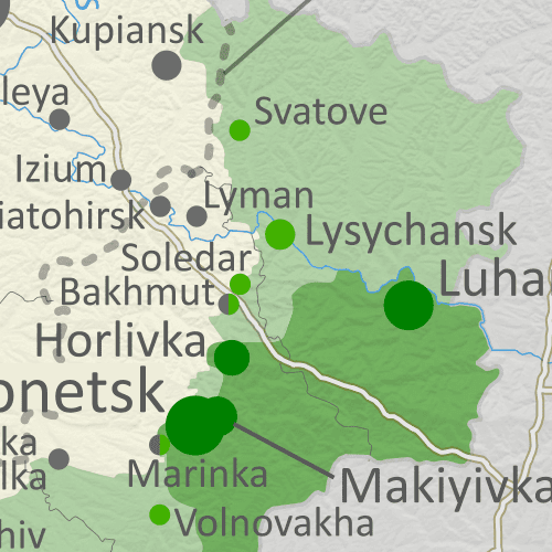
Map showing what parts of the claimed territory of the self-declared Donetsk and Lugansk People's Republics - now claimed as part of Russia - are controlled by Russian forces and allies, compared to the Ukrainian government. Click to enlarge.
|
Russian Advances: Steady, but Slow
In the month following our previous Ukraine war control map report, the advantage has remained with Russia, though not by much.
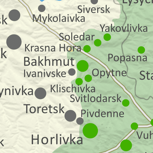
While Ukraine has made some very small advances, Russian forces have achieved still-small but more-significant gains, nearly cutting off Ukrainian supply lines to the small city of Bakhmut in Donetsk.
Russia has also made small advances in the contested area west of Donetsk city, and in the northeastern corner of mostly-Ukraine-controlled Kharkiv province - the only remaining area of Russian control that it doesn't officially claim as part of Russia.
Meanwhile, Snake Island in the Black Sea is now known to be held by Ukraine, after reports following Russia's mid-2022 withdrawal had left the situation unclear.
This report describes the situation as of one week ago, on February 21, 2023.


